We Make Assessments Easy
overview
GeoAppraiser - Assessment Management In The Cloud
GeoAppraiser combines Assessment Administration, Computer Assisted Mass Appraisal (CAMA), Document Management, and Geographic Information System (GIS) information into one seamless product in the cloud with zero footprint. GeoAppraiser allows you to see your tax roll information and CAMA values simultaneously while viewing your parcel maps.
Stop Fighting Old Technology
As we talk with more and more Assessor’s Offices, the more we find workplaces that spend a significant amount of time fighting out-of-date systems that make everyone’s life miserable. Well, we have good news!
Everything You Need Without The Things You Hate!
GeoAppraiser Assessments Administration allows the user to create, edit, and track values for real property (immovable), personal property (movables), and public service assessments to calculate ad-valorem taxes. All information is updated as entered, keeping tax rolls separate by each year; users can compare previous year to current year summaries.
Allows Remote Entry With Real-Time Access
The GeoAppraiser Parcels section allows the user to create, edit, and track parcel information including transfer history, legal description, parcel physical address (E911), township-range-section, ward, district, taxing body districts, subdivision-phase-block-lot, etc. All information is updated in real-time, which allows other users on the system to immediately view any changes.
GeoAppraiser Highlights

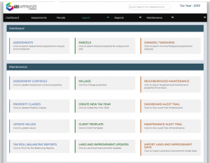
Clean Dashboard
The super clean dashboard gives you and your team easy access to all of the necessary daily functions you require. This dashboard allows you to instantly find exactly what you are looking for without wasting any time. Users can navigate through the system efficiently and effortlessly.

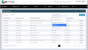
Assessment Administration
Administering your tax roles has never been easier. GeoAppraiser Assessments Administration allows the user to create, edit, and track values for real property (immovable), personal property (movables), and public service assessments to calculate ad-valorem taxes. All information is updated as entered, keeping tax rolls separate by each year; users can compare previous year to current year summaries.

CAMA
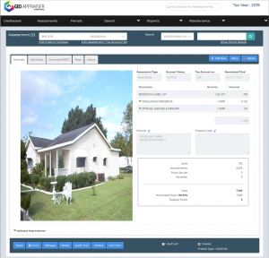
GeoAppraiser CAMA is a Computer Assisted Mass Appraisal (CAMA) system that allows the user to evaluate improvement costs by using any one of the following: square foot, comparative unit, or income methods. CAMA seamlessly interfaces with Marshall & Swift cost tables.

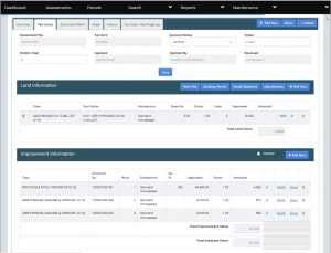
Parcel Details
The GeoAppraiser Parcels section allows the user to create, edit, and track parcel information including transfer history, legal description, parcel physical address (E911), township-range-section, ward, district, taxing body districts, subdivision-phase-block-lot, etc. All information is updated in real-time, which allows other users on the system to immediately view any changes.
Map Integration
The GeoAppraiser Map interface provides a method to link digital maps with the assessor’s or property appraiser’s tax roll. This information can include aerial photographs, digital quad maps, polygons, planimetric photos, and line-and-point geographical information systems (GIS) coverage.
